
There’s no denying that current methods of producing and consuming products and services greatly threaten our planet’s limited natural assets. Therefore, we are now faced with the daunting task of catering to the necessities of an expeditiously expanding worldwide population while preserving the environment and tackling climate change.
There is, however, a path of hope. The concept of sustainable development, which entails fulfilling the requirements of today’s generations without hindering future generations’ ability to satisfy their needs, can be actualised by deploying eco-friendly technologies. Such technologies play a crucial role in realising the Sustainable Development Goals (SDGs), a collection of universal objectives established by the United Nations in 2015. One of such technologies is remote sensing, primarily Earth satellite monitoring.
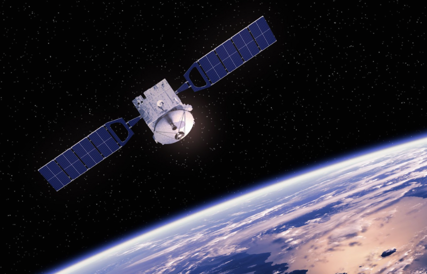
Satellite Technology and Sustainability
Satellites deliver unique and necessary data — detailed imagery of Earth. This digital information can be analysed manually and with specific algorithms to help enhance our comprehension of the planet’s state and make smarter decisions about its precious resources and their utilisation.
Satellite images also enable change detection in remote sensing, playing a key role in ecological observation and providing an overhead perspective of environment-related deviations over time. The extensive data derived from these pictures aids in making well-informed choices in environmental preservation and managing natural resources.
In initiatives focused on carbon, real-time change detection based on satellite data is applied in various ways. It’s instrumental in estimating forest carbon reserves, tracking vegetation alterations, and evaluating the impact of land use on carbon absorption.
All in all, satellite-based remote sensing is a source of extensive current and historical information on the Earth’s terrestrial, aquatic, and atmospheric conditions — the data critical for understanding environmental transformations, detecting pollution, assessing natural resources, and monitoring the impact of human actions. But none of this would be possible without fast and smart change detection analysis.
Change Detection in Environment Satellite Monitoring
Algorithms for detecting changes assess two satellite pictures by identifying specific features and their characteristics over a particular period. The key factors for monitoring include alterations in the object’s form, dimensions, position, and nature.
Changes in the object’s form over time are evident. Using before-and-after satellite imagery analysed with the help of change detection algorithms, a map highlighting changes can reveal alterations in the object’s shape. This is particularly useful in observing how the forested areas shift due to events like wildfires, selective logging, or complete deforestation.
More so, by comparing satellite images analysed from different dates, it’s possible to determine whether the area of interest has expanded or contracted, effectively identifying rivers or lakes shrinking. Same for the object’s position. This approach tracks whether an object has relocated within the observed time frame.
To illustrate how satellites help solve global environmental issues, we’ll go through some of the most major ones.
Flooding
Flooding in rivers is a significant sign of current climate change trends. By analysing satellite imagery taken on various dates and focusing on specific spectral bands and their changes, specialists can evaluate the extent of damage caused by such disasters and gain insights into the patterns and magnitude of the floods. For example, the NDWI-based change detection map can highlight changes to the Earth’s surface within the area of interest, particularly showing the reach of river floods and the impacted regions, which is necessary for determining the scale of destruction and verifying insurance claims if any. Furthermore, the insights gained from this analysis are a gold mine when planning the construction of new residential and commercial structures.
Forest Fires
Satellite data allows for identifying the outbreak and spread of forest fires. The ability to monitor vast and remote areas from space is satellites’ biggest advantage over ground-based observations, especially in inaccessible or dangerous regions.
The importance of satellite data in this domain lies in its capacity for early fire detection and in the crucial data it provides for firefighting and mitigation efforts. It can reveal the intensity, direction, and rate of spread of fires, which is vital for coordinating firefighting resources effectively. Additionally, post-fire satellite imagery analysis helps assess the damage and understand the ecological impact of fires, guiding reforestation and rehabilitation efforts. Long-term monitoring contributes to studying fire patterns and trends, enhancing the experts’ understanding of fire dynamics, climate change and human activities. This knowledge helps develop better fire management policies and preventive measures, ultimately helping preserve forest ecosystems and protect local communities.
Emissions Reduction Tracking
Observing and evaluating efforts to diminish emissions is key in tracking progress towards climate change mitigation. Using satellite technologies enables instant emissions tracking by capturing data across a range of pollutants. Armed with advanced sensors, satellites can oversee emission origins, including industrial sites, wildfires, and various modes of transport, which significantly improves the prompt identification and management of areas where emissions are dangerously high.
Meanwhile, modern IoT devices supply immediate, on-site data, enriching the picture of emission sources and aiding in precise, focused actions. These digital advancements promote a more fluid and adaptable method of reducing emissions, using technology to heighten accuracy and effectiveness in meeting targets for environmental sustainability.
Evidently, environmental surveillance has been transformed by remote sensing technology, with satellites offering critical data on a global scale for various applications, including tackling global challenges. Well-informed decision-making, adopting eco-friendly practices, and protecting our planet’s ecological systems are just some points in the long list of benefits satellite data offers.